Author name: Acfa Editor

AGM 2013

The 26th Annual General Meeting of ACFA was held on Saturday Ocober 26.  There was a good turn out by members who enjoyed the opportunity to socialise once the business of the evening was finished.  They were delighted to welcome seven new associate members to their ranks.  Members also welcomed the news that the Certificate in Field Archaeology (Glasgow University Centre for Open Studies) is due to recommence in 2014.  A full report of the evening will appear in the next issue of the Newsletter.

Next Social event Saturday February 22 2014

Photography Competition 2013 Results

The winners of the 2013 ACFA Photography Competition announced at the AGM on Saturday October 26 were:

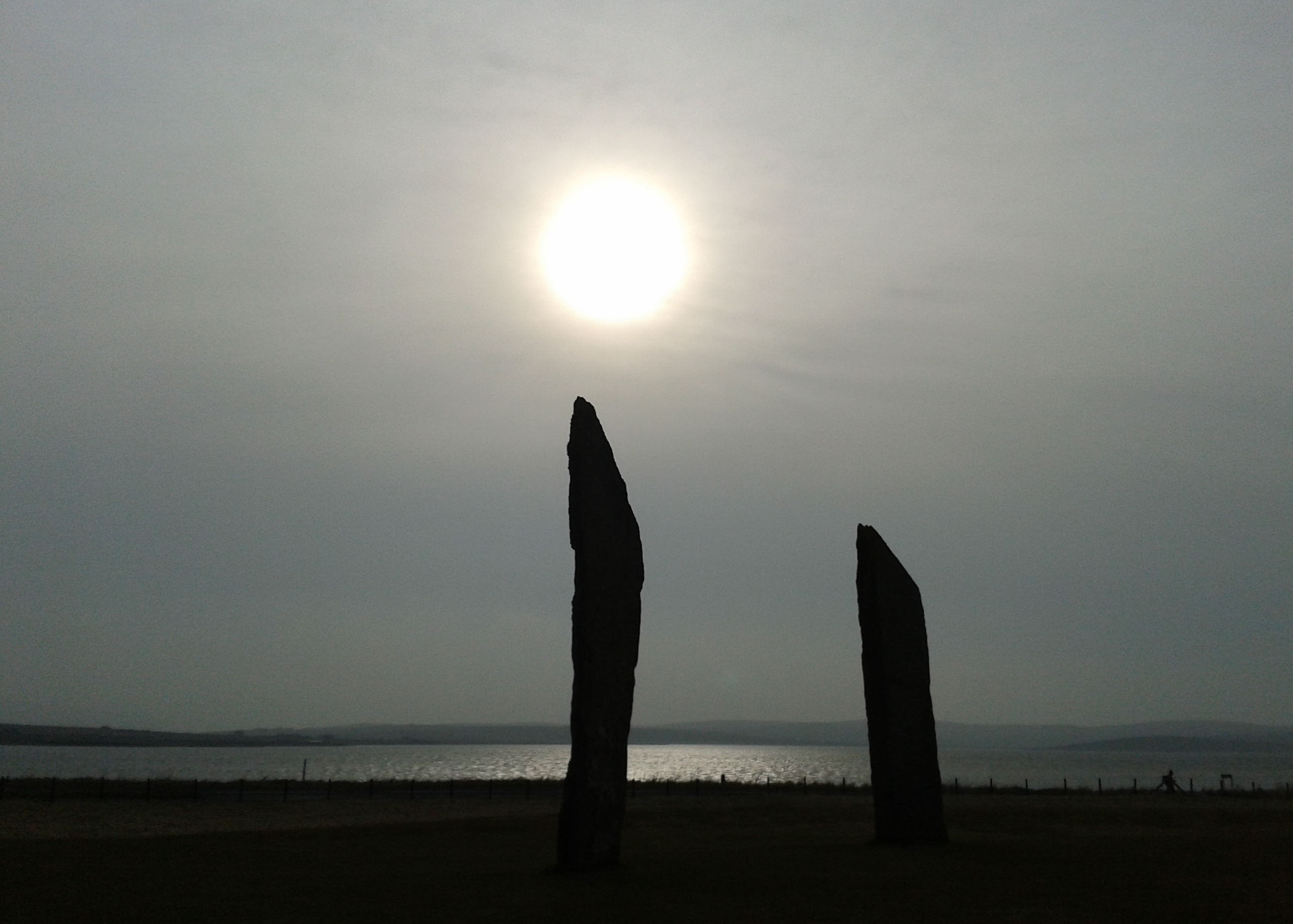
Archaeology in the UK: The Stones of Stenness by Janie Munro

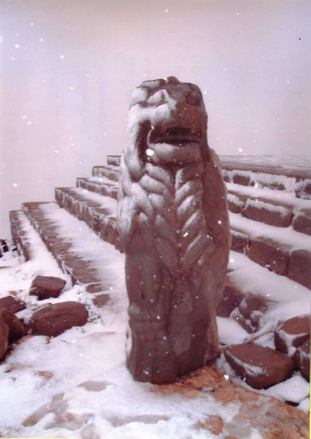
Archaeology Abroad: The Lion in Winter (Nemrut Dag) by Jean Hirst

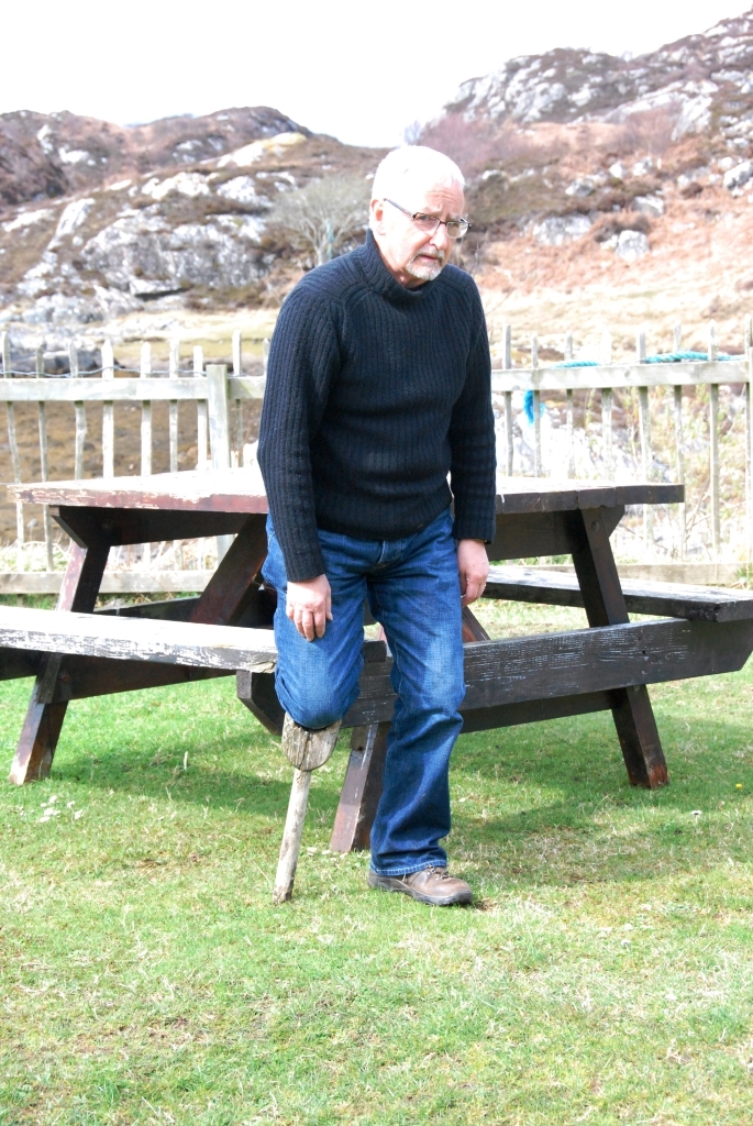
Humour: "Has anyone seen my parrot?" by Fred Hay

…and the winner of the ACFA Memorial Quaich was The Stones of Stenness by Janie Munro

About

The Association of Certificated Field Archaeologists (ACFA) was formed in 1987. Its membership comprises holders of the University of Glasgow Certificate in Field Archaeology, awarded by the Department of Adult & Continuing Education, now the Centre for Open Studies. The intention of the course was to teach adult students the basic principles of archaeological field survey and the importance of recording our cultural heritage of all periods.

The present Certificate in Field Archaeology is a two year modular course which aims to introduce students to the fundamentals of archaeological field survey and British, especially Scottish archaeology. Applications for membership of ACFA would be considered from holders of an equivalent qualification in Field Archaeology from other Universities.  Applications for associate membership would be considered from those who have demonstrated a level of experience and commitment to the practice of Field Archaeology.


What we do…

ACFA seeks to continue this work by undertaking field surveys in Scotland. The Association is willing to undertake non-commercial surveys at the request of private individuals, local community groups, Heritage and Local History societies etc. Members who participate in surveys do so in a voluntary capacity and ACFA does not charge for its services, but seeks grants and is willing to accept donations to offset costs. All surveys undertaken are recorded and the results published in our ACFA Occasional Paper Series, which is allocated an ISBN number and lodged with the Royal Commission for Ancient & Historical Monuments in Scotland and other public bodies. To date, ACFA has carried out over 100 surveys in Scotland in areas as widespread geographically as Sandwood in Sutherland, North Uist in the Outer Hebrides and Coalburn in South Lanarkshire.

A Practical Introduction to Field Archaeology

In conjunction with the Centre for Open Studies (Glasgow University), as a precursor to the 2-year Certificate in Field Archaeology, ACFA ran a 2-day training course in Pollok Park on 25/26May 2013.

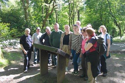
Pollok Park

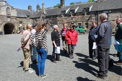
The optimum number of students for our resources was estimated at 15 divided into teams of three with a tutor for each team. Saturday began with a crash course in field survey with a useful ‘Idiot’s guide’ hand-out and a demonstration of tape offset in the lecture room. After a picnic lunch the group was led on a tour of the archaeological features of the park.

On Sunday, the groups of three were allocated a tutor and set to drawing one of the features.  At the end of the day the students returned to the lecture room for a winding up session. Responses were uniformly enthusiastic; students had learned that archaeology was not just about digging and they had begun to understand how to read landscape.

Pollok Park

High Morlaggan

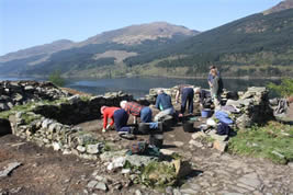
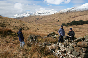
High MorlagganACFA members contribute to other projects one of which is the Hidden Heritage project based on the area between Tarbet and Arrochar. 

This high profile community excavation has been organised by The Morlaggan Trust with Sue Furness and Fiona Jackson and with the assistance and supervision of professional archaeologists, Heather James, Claire Ellis and Roddy Regan.

The site, on the north-east shore of Loch Long and first recorded in the McFarlane manuscripts in AD1514 and consistently occupied until its abandonment by c.1916- is set in a a highly dramatic landscape of massive erratics, the visible ruins consisting of houses, enclosures and field systems.

An EDM survey of the site was carried out by ACFA members Ian Marshall and the late Bruce Henry.

The four week long excavations indicated the occupational complexity of use and interpretation which is now increasingly recognised in deserted settlement investigations.


Bute Landscape Project

Please contact Sue Hothersall for further information.

Survey Director is Sue Hothersall

Eaglesham Farm Project

After spending twenty years walking the farmlands of Eaglesham Parish, 17 Occasional Papers have been completed. The final paper concentrated on the central area of the village itself the ‘Orry’ and its cotton mill. These were enjoyable years and many friendships were formed with the local farmers. We trudged through rain, hailstorms and sleet but we also spent days under glorious sunshine. Features surveyed took in all periods from the Bronze Age through to the Post Modern. Burnt mounds, Bronze Age cairns, Bronze/Iron age enclosures, deserted ruinous steadings, industrial buildings through to the present day were among features found and surveyed. The initial reason for field-walking, and ultimately surveying many sites in the parish, was to record features on the land before they disappeared due to their proximity to the south side of Glasgow and encroaching development. Over the years the South Orbital Road has been built through part of the farmlands, bridges and buildings have disappeared and fortunately these have been recorded before their demise. The Occasional Papers record details of the earliest cartographic evidence, historical and genealogical evidence from the Poll Tax Rolls of 1695 and old farm Rental Records etc. Many of the farmers allowed us to use old family photographs showing farming practices and machinery used in earlier times. We are now attempting to bring this information together in a book bringing out the most interesting accounts of our fieldwork.


The survey was completed in 2011 with a final survey of The Orry including the cotton mill site. 

The survey directors are Susan and Robin Hunter.


Isle of Raasay, Skye & Lochalsh District, Highland Region

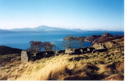
ACFA’s first report on a settlement in Raasay was published in 1995 and we returned annually (except 2001 – Foot & Mouth restrictions) until the final survey in 2009 . A group of volunteers surveyed for a week and each year teams recorded the remains of an abandoned settlement while others field walked the surrounding area recording what they found beyond the settlement boundaries. The archaeology on Raasay is plentiful and varied, ranging from the Mesolithic through the pre-historic and early historic periods to industrial archaeology connected to the early 20th century iron mines. The Association eventually completed the survey of the whole island to provide a record of life and land use through the millennia.

The survey is directed jointly by John Macdonald and Scott Wood

Glen Lochay, nr. Killin, Perthshire

Since a survey was undertaken in 1990 of the deserted township of Tirai and the immediate surroundings in Glen Lochay, ACFA has continued to survey parts of the Glen as well as the village of Milton of Lawers on Loch Tay side.  Recent work has focussed on high shieling sites.

Various Occasional Papers are published, recording sites from pre-historic to modern, with a preponderance of Medieval or Later Rural Settlement sites.

When the work on the Glen is completed there will be a substantial record of life and work in a Scottish glen.

The director of the survey is Dugie MacInnes

Dates for Autumn 2014 are: 

September 14, 21 and 28
October 5 and 26
November 2, 9, 16, 23 and 30
December 6 and 14
Dates may be cancelled due to bad weather and other eventualities. 
 

Isle of Rona, Skye and Lochalsh District, Highland Region

At the finish of the Raasay survey in 2009, the obvious next stage was to tackle the survey of Rona, to the north, with its close population links with Raasay in the 19th century.

A decision was made to begin with a survey of the main settlement at Acarsaid Tioram, (Dry Harbour )and this was started in May 2010.

The Dry Harbour survey report is finished and published. Copies are available from the survey director, Wendy Raine. Price £8.00 +postage.

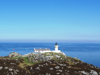
Am Braigh, the small short-lived township to the north of the island, near the lighthouse was surveyed in Spring 2013.

Wendy has now passed on the reins to a combined survey director team of Magaret Gardiner, Libby King and Ian Marshall.

Rona update Spring 2014

In one of the best weeks enjoyed so far this spring, a team of nine returned to Rona, to complete the survey of the final township of Doire na Guaile in the far south of the island. As this involved a walk – in of almost an hour each day, it was planned that work and recovery days would be spaced out, and believed that with about 40 structures to plan at 1:100, we would we looking at a two year programme.

In the event, the unparalleled weather and the enthusiasm of the teams meant that the whole settlement was planned in three days, and some teams even returned for a fourth to extend the survey to a neighbouring tidal islet, and to survey some newer settlement revealed during the walks in.

Libby King, Margaret Gardiner and Ian Marshall were co-directors, Dr Heather James as photographer and ‘boldly – goer’, Richard Anderson, Sue Hothersall, Stuart McKey, Dugie and Anne McInnes. With the free days, parties returned to Braigh and the north tip of the island.

Good company and five days of glorious spring sun have encouraged discussion on a final return to mop up and eliminate some of the remoter bays and islets, as well as the environs of Acairseid Mhor in 2015.



Scroll to Top