Author name: Acfa Editor

Our Place in Time – Historic Environment Strategy for Scotland


Last year ACFA took part in the public consultation on the draft Historic Environment Strategy for Scotland and the Outline Business case for the merger between Historic Scotland and RCAHMS.  Our written submission can be found in the Members’ Area.

The new strategy that emerged from the consultations and further discussions has just been published.  The intention is to ensure that Scotland’s Historic Environment is cared for, valued and protected in a sustainable way.  The strategy can be found at www.scotland.gov.uk/Publications/2014/03/8522 .

The Historic Environment Bill to create a new Non-Departmental Public Body, Historic Environment Scotland, has been laid before the Scottish Parliament and can be found at www.scottish.parliament.uk/parliamentarybusiness/Bills/73219.aspx .
Rouken Glen New Project

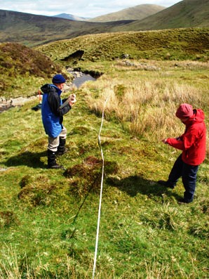
ACFA members are taking part in a new archaeology project based in Rouken Glen Park on the southside of Glasgow. The project will kick off with a training weekend for community volunteers on March 15 and 16. A group of ACFA members will help tutor the volunteers in learning to recognise features in the landscape with a guided walk-over of the park and continuing with an introduction to surveying. 

The Saturday will also see the launch of Dig It Archaeology Year 2015.

Spring Glen Lochay Dates

Glen Lochay survey dates for March to June have been announced.  They are:  March 23, March 30, April 6, April 13, May 4, and May 11.  All dates are Sundays.  A camping weekend is also planned.  More details can be found in the Members’ Area.

An Riol

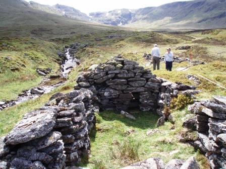
The shieling grounds of An Riol lie southwest of Ben Lawers, west of Lochan na Lairige and north and northwest of the Tarmachan Ridge. The site is a huge amphitheatre which measures over 2kms north-south and around 1.50kms east-west. Archives found within the Breadalbane Muniments record that An Riol has been leased for shieling since the early 15th Century and it may have existed before this. Fortunately the archives give a useful insight into how the shieling grounds were leased and used.

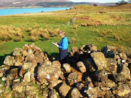
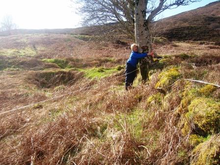
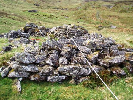
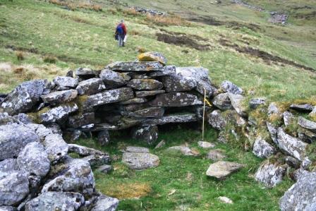
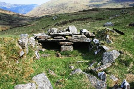
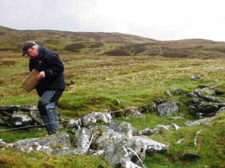
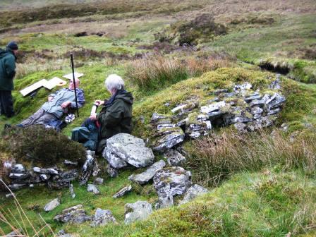
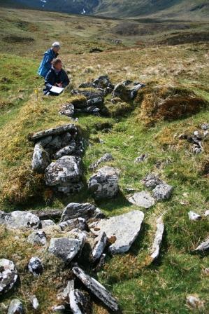
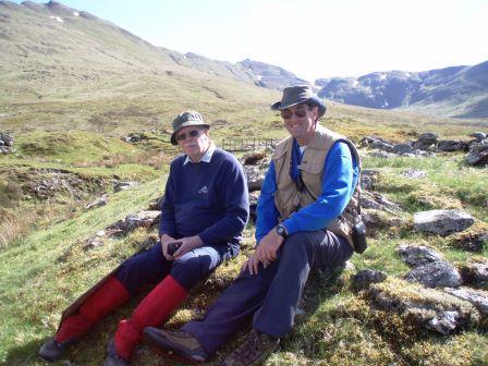
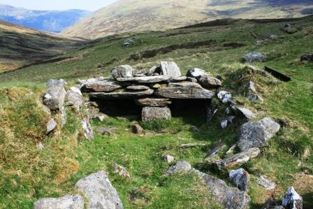
The survey, which involved almost 30 ACFA volunteers, was carried out over 3 weekends in 2008 and 2009. The report was published as ACFA Occasional Paper No 103 in 2010. During the survey just under 300 features were recorded, comprising enclosures (including a well-preserved poindfold), dairy stores, byres and shieling huts. Some of the remains are seen now as faint circular banks under the grass but some are clearly much later and are rectangular stone structures standing in some cases to 5 or 6 courses.

The record tells us that by the second half of the 18th Century the shielings were being used for grazing beef cattle and sheep and by 1821 the lease was taken away from the surrounding townships and given to 1 sheep farmer from the north of England who ran it as an enormous sheep run.

Nowadays there continue to be a few sheep grazed here in the summer and some shooting and stalking takes place in the autumn. This beautiful and evocative site is well worth a visit and is easily accessible from the un-numbered road which goes between North Loch Tayside and Bridge of Balgie which runs right through the shieling grounds – easy for most of the year but not for the faint-hearted in winter.

Survey Director – Anne Macdonald

Achnahannaid


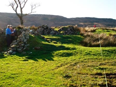
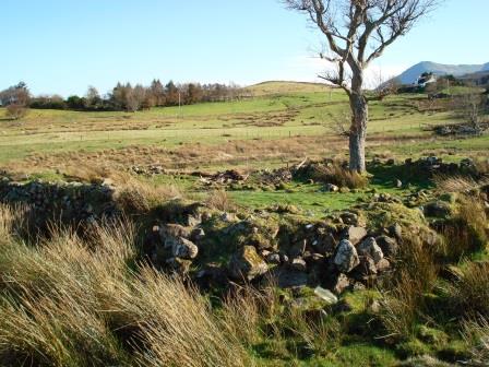
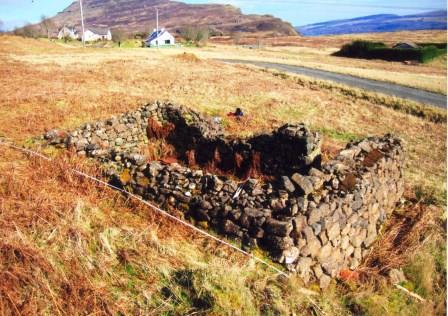
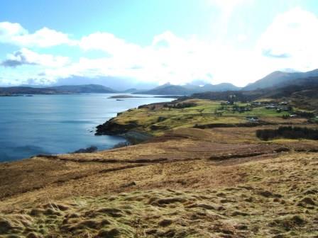
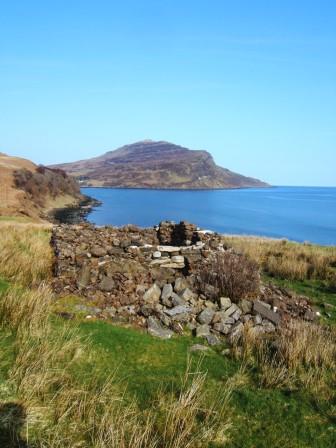
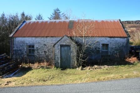
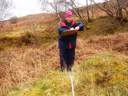
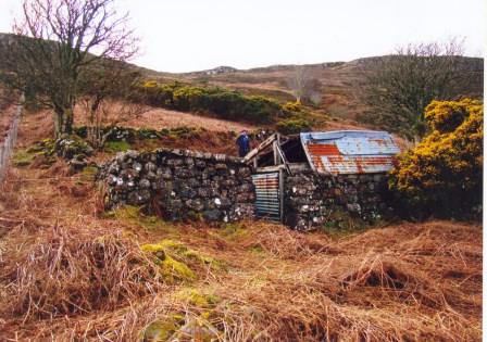
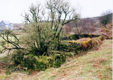
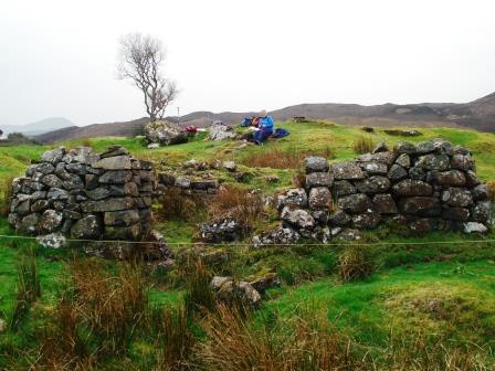
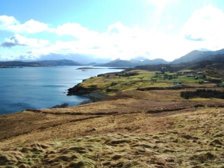
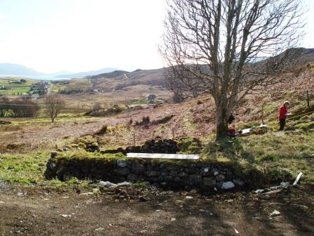
Achnahannaid lies on the east coast of Skye on the road down to Braes. The survey was carried out in 2012 by some twenty ACFA volunteers.
The purpose was to determine whether there was any ecclesiastical connection with the township, as its name means the Field of the Church or perhaps the Field belonging to the Church. The church was possibly St Moluag’s which lies across the Sound on the Isle of Raasay.

Sadly no evidence either in the records or on the ground could be found to substantiate this theory.

The township, which appears on Blaeu’s map of 1640, was altered in 1810 by Lord Macdonald and laid out as eight crofts with an area of common grazing. It remains as such to the present day although only one man now crofts the township.

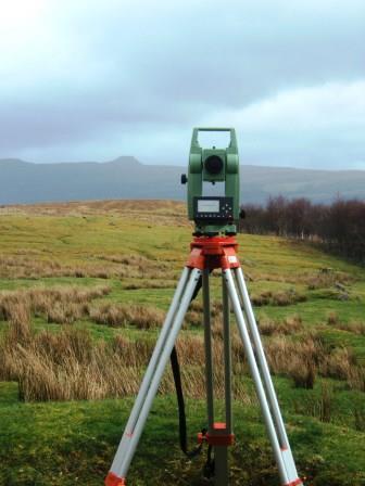
The survey using an EDM, produced an overall 1:1000 map of the area. Drawings of the individual structures were drawn at 1:100. Photographs were taken and detailed descriptions of the individual features were produced. Most of the structures were from 1810 onwards with the exception of a few remains lying in the common grazing. Some ninety features were recorded.

In addition to the field survey an extensive study was carried out in the various archives as to who owned which croft and when.

The findings were published as ACFA Occasional Paper No 121 in 2013.

Survey Directors John Macdonald & J. Scott Wood

Ask the Experts: Archaeology Fact Finding Conference

On Saturday22nd March 2014, the SCAPE Trust is hosting an Archaeology Fact Finding Event in Glasgow. Designed for all those who have an interest in and take part in archaeology and heritage in a non-professional capacity, this one-off event will give you the opportunity to get up to speed with the incredible range of techniques, specialisms and services across the sector and meet the experts and practitioners face to face.

The day will be structured into 2 parts: short presentations throughout the morning and timed surgeries in the afternoon where you will be able to find out more about specific techniques and services, discuss project ideas and meet specialists and contractors.

The event will be held at the Western General Lecture Theatre and more information can be found at SCHARP’s website.

Scottish Coastal Heritage At Risk Project (SCHARP) Workshop

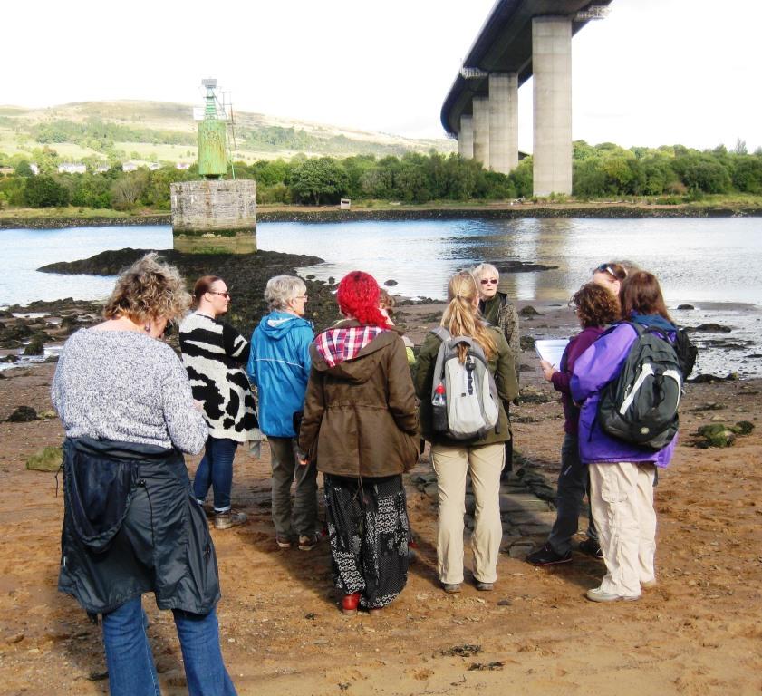
A group of ACFA members attended this interesting day which began with a classroom introduction to the website.  An interactive map gives access to the data from various coastal assessments with links to site records and the ability to view in satellite mode which gives a good view of your chosen site.  We were shown how to record changes to an existing record or report new sites.  The afternoon was spent on the southern shore of the Clyde under the Erskine Bridge learning how to use the smart phone app in the field.
Mavis Valley

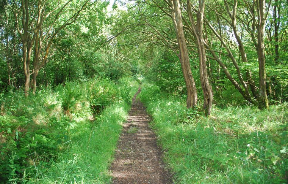
In conjunction with East Dunbartonshire’s commemoration of the centenary of a fatal fire in Cadder No 15 pit, ACFA carried out a survey of Mavis Valley, a mining village, which was home to six of the men who died.

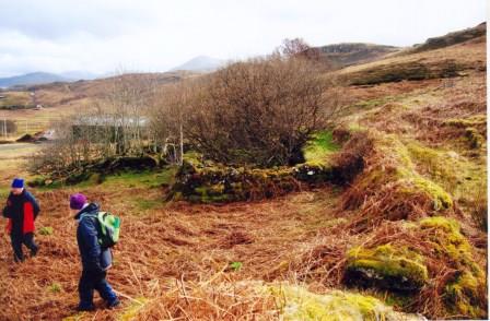
The first houses were built around 1855 and the latest between 1900 and 1910.  The village was abandoned to squatters in the late 1940′s and finally demolished in 1955.  Later the site was used, and subsequently abandoned, as a tree nursery which made the survey particularly difficult, but we were able to identify some of the oldest houses and locate the position of the local co-operative society’s shop.

One group of houses was better built with a slate damp-proof course and decorative brickwork.  Behind them were steps up a bank to a raised area, possibly a drying green.  The bricks used for the latest houses were from several brickworks suggesting different construction dates.

Further work may be undertaken at another deserted mining village, Lochfaulds, and there is a possibility of excavation on one or more of these sites in collaboration with Glasgow Museums Outreach programme.


Survey Director: Carol Primrose

Scroll to Top